Koh-learning in our watersheds
Developing a watershed portal
Building on existing research and collaboration in the Nechako watershed and across Canada, we are developing a web-based, geospatial tool built on open source software designed in northern BC, and adapted to the Nechako context /users to inform land and water decision-making in the Nechako River Basin (NRB). The proposed portal builds upon web-based data management interfaces being used by other land use planning groups in BC (e.g., Tsilhqot'in National Government ). Our goal is to create a web-based tool that can provide a single point of access to information that is relevant to the NRB. This project will have the ability to surface otherwise hidden information about local natural, human and cultural resources. It will be able to archive, profile and share information relating to land/water use and health in innovative and novel ways (e.g., pictures and videos). In so doing, it will help create a focal point for discussions on watershed issues that will engage different communities and interest groups in the Nechako River Basin and beyond.
A portal for the community: working with partners
Currently, we are working closely with three project partners: the Nechako Environment and Water Stewardship Society (NEWSS), School District (SD) 91 and the Cheslatta Carrier Nation. With NEWSS we are developing the portal so that they will be better able to share, profile, and exchange information relating to their restoration work on riparian areas in the agricultural belt. In so doing, it is expected that there will be increased interest from other landowners resulting in an increased participation in the restoration program and hence an overall improvement of ecosystem health within the region.
While NEWSS is keenly interested in sharing, profiling, and exchanging information relating to their restoration efforts, they are also very interested in engaging students from SD 91 in the collection of pertinent ecological information (e.g., riparian health, water quality, etc.) and personal stories to help enhance community engagement in this work. To this end, we are developing a student based stream-monitoring program in collaboration with teachers in SD91. Using the Pacific Streamkeepers Federation protocols, students will conduct real science to monitor water quality in their local creeks. The portal then serves to both log student-collected data, and be a learning tool to achieve educational goals related to stream science
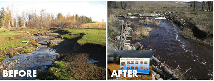
Bank restoration by NEWSS on Murray Creek, near Vanderhoof, BC
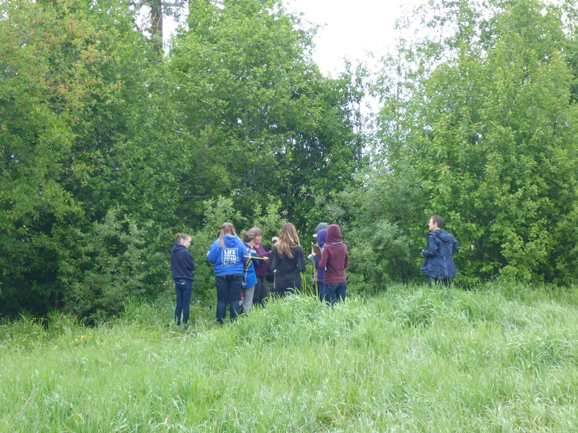
SD 91 Students on Murray Creek
Koh-learning in our watersheds
Developing a watershed portal
Building on existing research and collaboration in the Nechako watershed and across Canada, we are developing a web-based, geospatial tool built on open source software designed in northern BC, and adapted to the Nechako context /users to inform land and water decision-making in the Nechako River Basin (NRB). The proposed portal builds upon web-based data management interfaces being used by other land use planning groups in BC (e.g., Tsilhqot'in National Government ). Our goal is to create a web-based tool that can provide a single point of access to information that is relevant to the NRB. This project will have the ability to surface otherwise hidden information about local natural, human and cultural resources. It will be able to archive, profile and share information relating to land/water use and health in innovative and novel ways (e.g., pictures and videos). In so doing, it will help create a focal point for discussions on watershed issues that will engage different communities and interest groups in the Nechako River Basin and beyond.
A portal for the community: working with partners
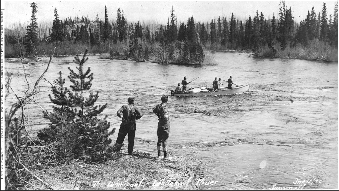
"Whirlpool on Whitesail Lake" courtesy of Cheslatta Archives
The Cheslatta Carrier Nation have spent a considerable amount of time and expense in physically housing and organizing their archival material on one of their reserves. At present, they are very interested in developing a means by which bring significant portions of their extensive collection of historical documents, photos and maps into the public domain. We have begun initial discussions with staff and band members to explore how the proposed portal may assist them in meeting this goal.
The development of the watershed portals has been supported by generous grants from the Real Estate Foundation of BC
