Mapping the Peace River Break
Prince George, BC – UNBC graduate student Tim Burkhart is aiming to empower more people to get involved in land use planning by making it easier for them to access and interact with mapping tools.
As part of his research towards a Masters of Arts in Natural Resources and Environmental Studies, Burkhart has created a digital atlas of the Peace River Break region. The Peace River Break is the narrowest point of the Rocky Mountain range and is located almost entirely within BC’s provincial borders.

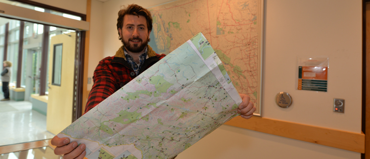
UNBC student Tim Burkhart.Download High Resolution Image.
Burkhart says that in the past, comprehensive maps were held by private or public agencies and consequently difficult to access or required specialized training to understand. The online atlas is designed to be simple to use yet still provide detailed information about the region.
“The idea for the Peace River Break Digital Atlas Project is to create a give-and-take relationship with the public,” Burkhart said. “I would like to see people using it for their own specific conservation goals, whether it’s a local group looking to protect a specific wetland or someone who wants to identify hiking trails.”
In addition to using the data for their own purposes, members of the public can collaborate with other users through the imbedded communication tools. Burkhart said the opportunities for map users to engage with each other sets his project apart from traditional maps.
“Maps have an intrinsic power to them because they purport to accurately represent the land,” Burkhart said. “What you put forward with your map has the power and potential to change that landscape.”
Burkhart’s research is funded by Mitacs, in collaboration with Yellowstone to Yukon, the Vancouver Foundation, and Landsong Heritage Consulting.
-30-