Field Work Attempts to Understand Atmospheric Conditions Leading up to Storms along Continental Divide

Bring on the storm.
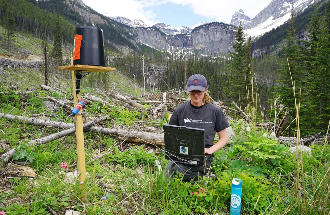
Since late April, researchers from the University of Northern British Columbia have collected specialized measurements and conducted research in the field in the Canadian Rockies along and near the B.C. and Alberta border to better understand the atmospheric conditions leading to storms and precipitation along the continental divide.
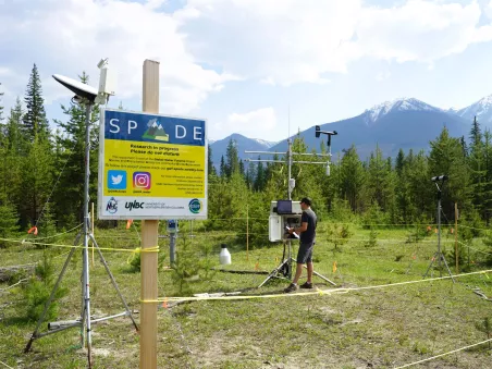
The Storms and Precipitation Across the Continental Divide Experiment (SPADE) is led by the Université du Québec à Montréal (UQAM) and funded by the Global Water Futures programme. It’s a unique collaborative research study that includes a UNBC contingent that is responsible for one of two major field sites in the Rockies just outside of Kootenay National Park, at the Nipika Mountain Resort on the western side of the divide.
The UNBC researchers are hydroclimatologist Dr. Stephen Déry, project manager Juris Almonte, and three graduate students.
The study also includes participants from UQAM, the University of Saskatchewan and the University of Manitoba with additional support from Environment and Climate Change Canada scientists. The other field site is on the east side of the divide at Fortress Mountain in the Kananaskis Valley south of Canmore, Alta.
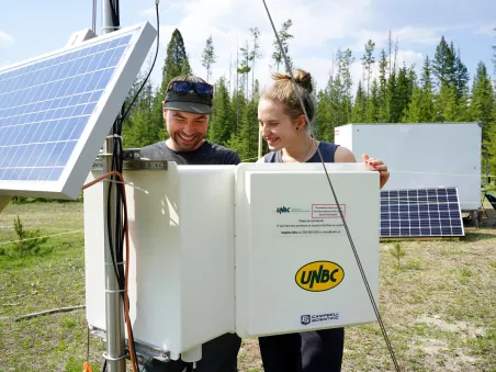
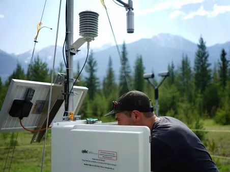
At all sites, data on air temperature, relative humidity, wind speed and direction, snow depth and precipitation up to 1-minute temporal resolution are being acquired. Apart from this, four micro rain radars are capturing vertical profiles of precipitation echoes, while three optical disdrometers measure the size distribution of raindrops or snow crystals. On the eastern side, two lidars also capture three-dimensional wind fields providing the atmospheric precursors to precipitation in the Rockies.
Researchers are attempting to answer three questions: how much rain and snow passes over the divide and falls to the surface on the upwind and downwind slopes of the Rockies; what factors govern this precipitation and its distribution at the surface; and how well do predictive numerical models simulate these precipitation features?
“This research will lead to better insights on heavy precipitation associated with storms at the hydrographic apex of North America such as the June 2013 heavy rain-on-snow event that led to the disastrous floods in Alberta’s Bow River Valley and B.C.’s Elk River Valley,” said Dr. Déry. “Thus far, SPADE has collected special observations during 13 storms although our specialized instrumentation has collected continuous data since the start of the field campaign.”
The field work wraps up at the end of June.
These data will be made publicly available for future researchers and will be the basis for several graduate student projects.
“Given the uniqueness of this dataset, and the limited hydrometeorological data available across this region, these data will serve as a resource to help researchers better understand the atmospheric conditions leading up to storms,” said Dr. Déry.
The results of these studies may help improve future numerical weather prediction models. SPADE is a Global Water Futures Pillar 1 transformative project, with possible funding for a second phase.
The research is being funded by Global Water Futures: Solutions to Water Threats in an Era of Global Change.


