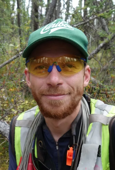
NRESi Colloquium: The new landscape of satellite remote sensing. Alex Bevington, BC MFLNRORD and UNBC PhD student

Large satellite image archives became free to the public from NASA in 2008. Since then, we have seen other space agencies release free satellite images to the world. In conjunction, exciting cloud computing opportunities and open source software has accelerated data processing possibilities. This democratization has changed the way we think about environmental change over time and it has challenged all fields of science, notably the earth sciences. This presentation highlights the ad-vantages of using these new technologies, and discusses some of the struggles that may be encountered along the way. Topics such as surveillance, environmental monitoring, and landscape stewardship will be addressed. Concrete real-world ex-amples from the 2017 BC wildfire season, the changing snowpack of BC, and land-slide monitoring will aim to showcase the possibilities and the limitations of these technologies. Some basic concepts in satellite image theory and processing will be explained and an overview of recent research findings from British Columbia will be presented. Throughout the presentation there will be an emphasis on tips and tricks for early career researchers in a rapidly evolving field.
The Natural Resources & Environmental Studies Institute (NRESi) at UNBC hosts a weekly lecture series at the Prince George campus. Anyone from the university or wider community with interest in the topic area is welcome to attend. Presentations are also made available to remote participants through Livestream and Blue Jeans. Go to http://www.unbc.ca/nres-institute/colloquium-webcasts to view the presentation remotely.
Past NRESi colloquium presentations and special lectures can be viewed on our video archive, available here.
Contact Information
Al Wiensczyk, RPF
Research Manager,
Natural Resources and Environmental Studies Institute
Phone: 250-614-4354
Phone: 250-960-5018
Email: al.wiensczyk@unbc.ca